Try “hunting permit”, “Great Walk huts”, “track closures”
Four whārua, one Rohe Pōtae o Tūhoe
Te Urewera is old ground. Her ranges are greywacke, laid down on an ancient seafloor and lifted along the line where two great plates meet. To the south, younger sandstones and siltstones tilt towards Waikaremoana. Over all of it lies ash from Taupō, fallen some 1,800 years ago. From that ash, her forest has made its soil.
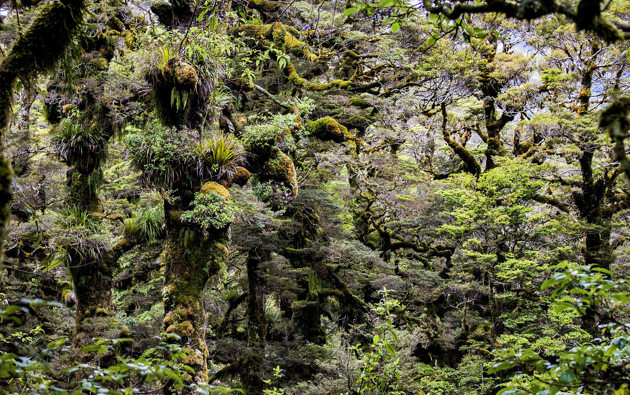
Her forests follow the height of the land. Rimu, rātā and tawa hold the lower slopes. Beech takes over as the country climbs, until silver beech, bent low and wrapped in moss, holds the ridgelines.
She is not still. Active faults run beneath her. Rain comes hard off the ranges, rivers rise quickly, and slopes let go. These forces shaped the valleys we live in, and they have not finished.
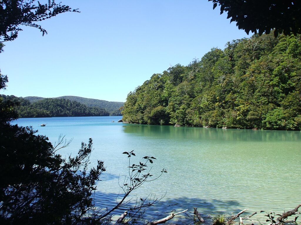
Waikaremoana was made by a fall. Some 2,200 years ago, an earthquake instigated by our ancestress Haumapuhia is thought to have sent a mountainside into the river gorge, and the waters rose behind it. Above her, Lake Waikareiti rests behind an older landslide, some 18,000 years old.
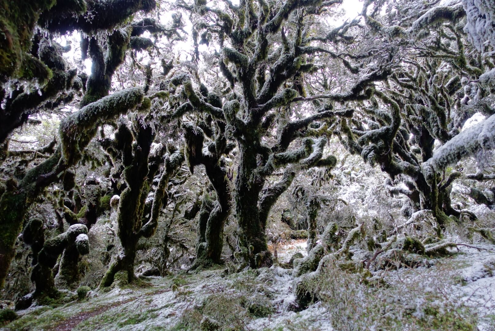
This is the most exposed of the valleys. Wind moves across open water, cloud gathers on the bluffs, and snow comes to the tops in winter. Red beech holds the slopes. On the summits of Panekire, silver beech grows squat and mossed, shaped by wind, snow and constant cloud. The lakes and their catchments carry tuna, native fish and birdlife. The islands of Waikareiti remain refuges of forest as it once was.
Hawke's Bay is warming. How much depends on the world's choices: modest if emissions fall, up to three degrees by 2090 if they do not. Heavier rain on steep, soft sedimentary country means more slips, and the lake's weather will turn faster still. The health of the lakes will rest, as it always has, on the health of the forest around them.
Ruatāhuna is the highest and coolest of the valleys. At around 700 metres, winter nights average barely above freezing, and summer days seldom pass twenty degrees. The mist settles and stays. The Whakatāne River begins in these ranges, beneath the Huiarau.
Here the nahere is at its most continuous: deep, unbroken forest over greywacke, sheltering the birds, insects and reptiles that depend on connected country. Roads close to slips and snow, and rivers cut off the way through. Ruatāhuna has always asked those who live here to be self-reliant – Ruatāhuna – paku kore.
Fewer frosts and heavier rain are likely. What falls on these headwaters travels down to Rūātoki and Waimana. What happens to the forest here decides what happens to the rivers below. Ruatāhuna's work of pest control, monitoring and presence will carry more weight for all four valleys, not less.
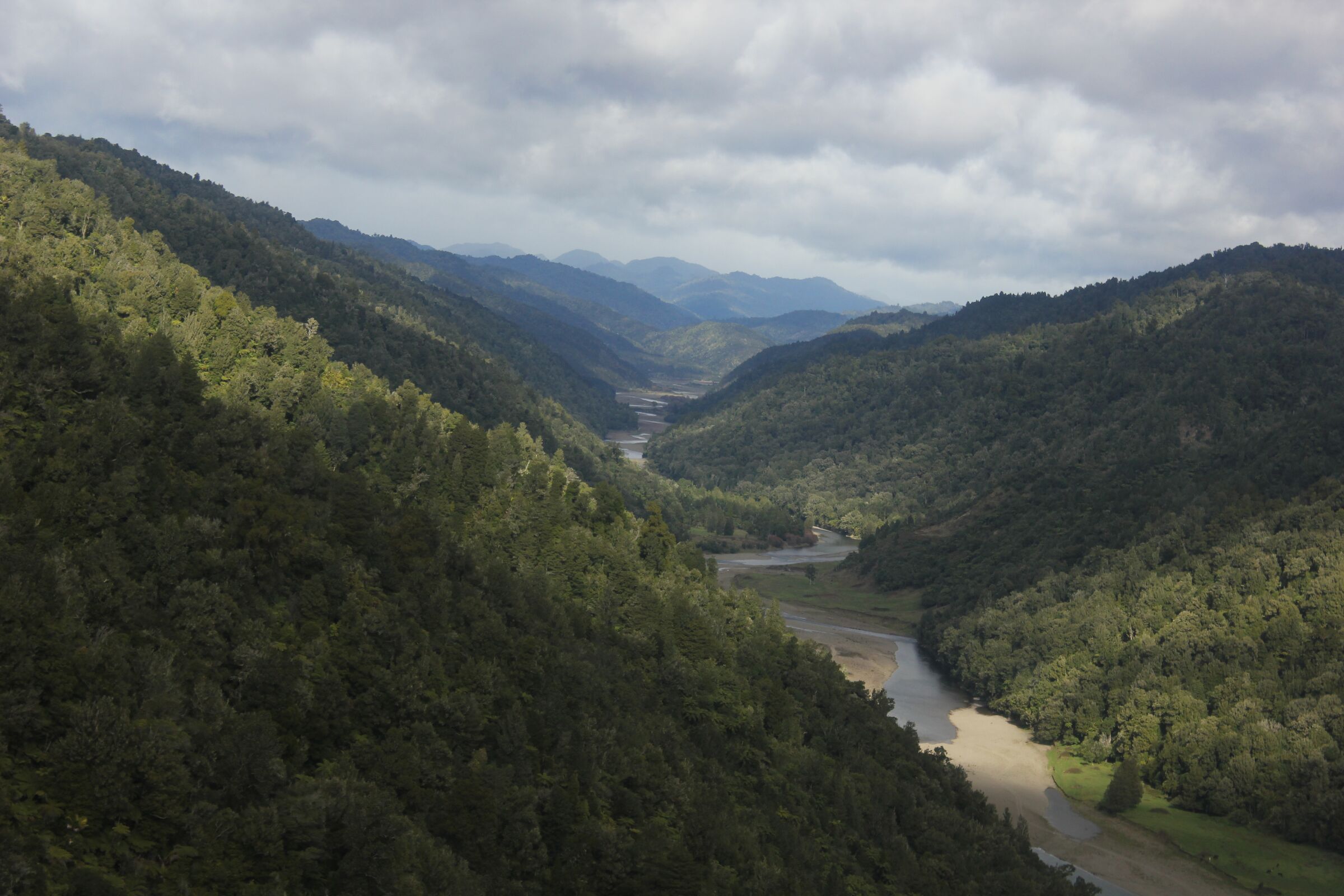
Here the forest opens. The Ōhinemataroa leaves the ranges and spreads across flats it built itself, deep and fertile. The climate is milder and the rain gentler than in the valleys behind. On the forest margins, kohekohe, tawa and pukatea grow over ash-laid soils.
The river that feeds the valley also tests it. In the floods of 1998 and 2004, the Ōhinemataroa rose fast, ate at its banks and pressed against its stopbanks. Rūātoki lives in the meeting of river, whenua, nahere and people, and that meeting is not always calm.
Very extreme rain is expected to become more common across the country, with sharper, shorter bursts. Drought is expected to deepen in most regions. Rūātoki may know both: floods in one season, dry flats in another. The questions for this valley are how much room the river is given, and how well the upper catchment holds its water.
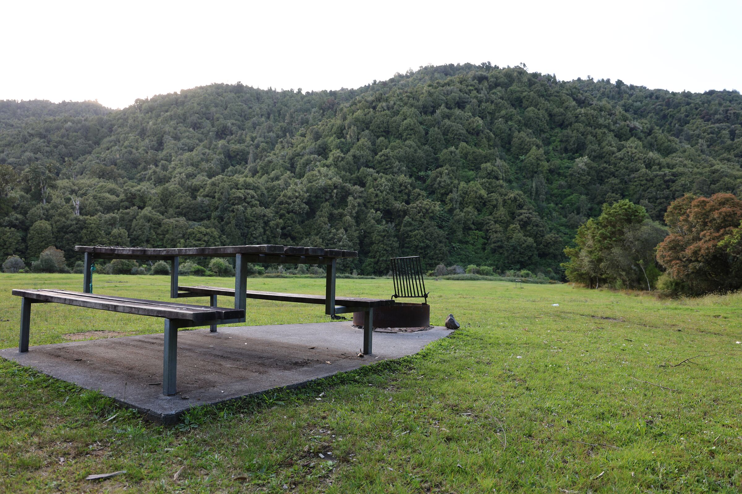
Waimana is the warmest and most open of the valleys: long hours of sun, fertile soils, a river that gave generously to the māra kai of generations past. Behind it rise the tawa and podocarp forests of the northern ranges.
That forest has long been a stronghold. Since 1996, the work at Otamatuna has protected kōkako, kiwi and whio. Long-tailed bats hunt the valley, and the tusked wētā has been found there.
Waimana also carries force. The Waimana Fault runs some fifty kilometres through this country and is capable of a large earthquake, though at intervals measured in thousands of years. The river is quicker to act. In 1998, the Waimana flood may have been as extreme as a one-in-two-hundred-year event.
Warmer years will bring heavier rain and harder dry spells to the valley floor. In the forest, the gains made for kōkako and kiwi hold only as long as the work continues. Warmer summers are expected to make beech seeding years more frequent, and with them surges of rats and stoats. Ground that was won can be lost quickly.
Tomorrow is not fixed. Te Urewera has outlasted ice, eruption and earthquake. What she now faces is faster: warmer years, fiercer rain, new pests and new diseases such as myrtle rust. A forest can stay green while it fails. It can also recover when people stay present, watchful and at work within it.
Which tomorrow she meets is being decided now.